From 23 June to 27 June 2025, field work with a focus on UAV recordings took place in the cooperation project UAV-supported monitoring of Saalach floodplain restoration areas in the province of Salzburg together with the PLUS Zoological Evolutionary Biology working group. Colleagues Mike Teucher, Philipp Alb and Detlef Thürkow used LiDAR and multispectral images to record the current status of the near-natural renaturalisation of the Saalach river near Salzburg.
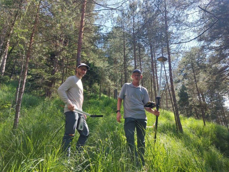
The Saalach river has been straightened considerably in recent decades. This has repeatedly led to damage, especially during flood events. Now the course of the river is being renaturalised in sections upstream. This will create a completely new, branched river landscape – with very shallow embankments, islands and tributaries. The renaturation project is being scientifically supported by MLU Geoecology and PLUS and, in addition to faunistic surveys in the existing riverbank area and in the new area to be created, UAV flights are being used for monitoring and to record the habitat requirements of various target species (including butterfly species and ground beetles) and to model dispersal opportunities. The UAV flights were supplemented by spot measurements of vegetation cover using the LAI-LiCOR device from MLU Geoecology.
The current work fits in with the monitoring of changes in the micro-relief that has been ongoing for three years, and the use of UAV-supported technologies enables high-resolution spatial and temporal analyses of the changes and vegetation cover and thus improved derivation of recommendations for action.